
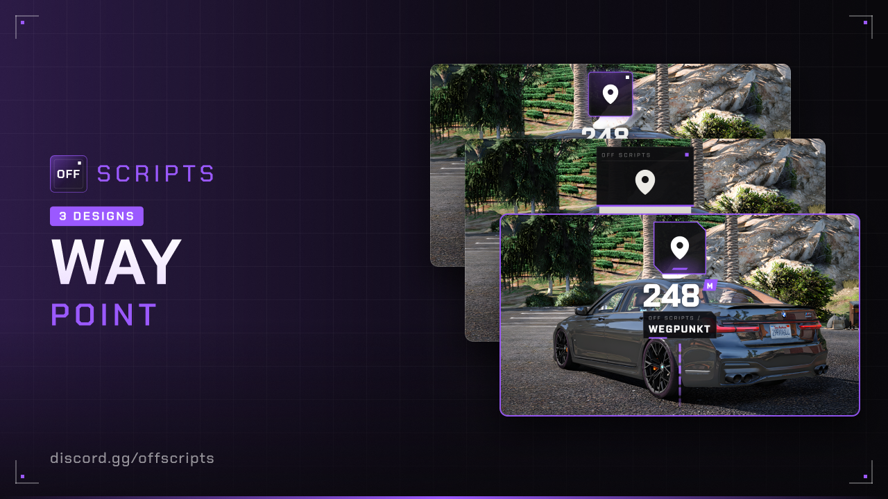
Waypoint
Waypoints as 3D markers in the world. The GTA map waypoint is shown automatically, other scripts set their own waypoints via exports on the client or the server. The script needs no framework.
Requirements
- OneSync, only if server scripts use
onArrive(the server then checks the distance)
Features
- GTA waypoint as a 3D marker with distance. The waypoint is removed on arrival.
- Two types:
checkpointwith a line down to the ground andsmallas a floating marker. - Configurable per waypoint: color, icon or image, text, distance, blip with GPS route, expiry time and a function on arrival.
- Exports for client and server.
- Lightweight: Only the nearest waypoints are drawn (
maxVisible), the browser instances are reused and cleaned up when they are no longer needed.
Installation
- Put the
off_waypointfolder into yourresourcesfolder. - Add to your
server.cfg:
ensure off_waypointConfiguration
config/settings/config.lua
| Option | Default | Description |
|---|---|---|
serverInfo.name | 'OFF SCRIPTS' | Server name, shown in the UI instead of "OFF SCRIPTS" |
serverInfo.locale | 'de' | Language: de, en, pl, fr, es or it |
serverInfo.color | { 155, 89, 255 } | Server color (RGB), also used for waypoints without their own color |
serverInfo.design | 3 | UI design: 1 = Classic, 2 = Receipt, 3 = Storefront |
type | 'checkpoint' | Default type: 'checkpoint' or 'small' |
drawDistance | 500.0 | Default view distance in meters |
displayDistance | true | Show distance by default |
maxVisible | 6 | How many waypoints are shown at the same time, nearest first |
blip | { sprite = 162, color = 17, scale = 0.8 } | Default for waypoint blips |
mapWaypoint.enabled | true | Show the GTA waypoint as a 3D marker |
mapWaypoint.type | 'checkpoint' | Type of the GTA waypoint |
mapWaypoint.drawDistance | 10000.0 | View distance of the GTA waypoint |
mapWaypoint.arriveDistance | 25.0 | The GTA waypoint is removed within this distance, 0 = never |
Languages
The default waypoint text and the console messages are in config/locales/ (one file per language).
Waypoint options
You can pass these fields when creating and updating. Only coords is required.
| Field | Description |
|---|---|
coords | vector3, vector4 or { x, y, z } |
type | 'checkpoint' or 'small' |
label | Text below the distance, false = no text |
color | '#9b59ff' or { 155, 89, 255 } |
icon / iconColor | Phosphor icon (e.g. 'ph-flag', default 'ph-map-pin') and a custom icon color |
image | Image URL instead of an icon |
displayDistance | Show distance |
size | Size, default 1.0 |
drawDistance / fadeDistance | View distance and the distance from which the waypoint fades out |
dynamicScaling | Gets bigger and higher with distance, like the GTA waypoint |
arriveDistance | Arrival radius in meters, default 5.0 |
onArrive | Function on arrival: on the client (id, metadata), on the server (source, id) |
removeDistance | Removed as soon as you are this close |
duration | Milliseconds until the waypoint is removed |
blip | true or { sprite, color, scale, name, shortRange } |
route / routeColor | GPS route to the waypoint (sets a blip automatically) and its color |
groundZ / minHeight / maxHeight | checkpoint only: ground height of the line and limits of its height |
metadata | Any data, returned in onArrive and GetWaypoint |
For developers
-- Client
local id = exports.off_waypoint:AddWaypoint({
  coords = vector3(215.0, -810.0, 30.7),
  label = 'Pickup',
  icon = 'ph-package',
  color = '#3B9EFF',
  route = true,
  onArrive = function(id)
    exports.off_waypoint:RemoveWaypoint(id)
  end,
})

exports.off_waypoint:UpdateWaypoint(id, { label = 'Abgabe', coords = vector3(300.0, -900.0, 29.3) })
exports.off_waypoint:RemoveWaypoint(id)          -- with fade-out, RemoveWaypoint(id, true) instantly
exports.off_waypoint:RemoveAllWaypoints()        -- all waypoints of your script
local waypoint = exports.off_waypoint:GetWaypoint(id)
local exists = exports.off_waypoint:HasWaypoint(id)

-- Server
local id = exports.off_waypoint:AddWaypoint(source, {
  coords = vector3(215.0, -810.0, 30.7),
  label = 'Lieferung',
  onArrive = function(source, id)
    exports.off_waypoint:RemoveWaypoint(source, id)
  end,
})

exports.off_waypoint:UpdateWaypoint(source, id, { label = 'Neue Adresse' })
exports.off_waypoint:RemoveWaypoint(source, id)
exports.off_waypoint:RemoveAllWaypoints(source)  -- all waypoints of your script for this player
local exists = exports.off_waypoint:HasWaypoint(source, id)- When a script stops, its waypoints are removed automatically.
onArriveon the server only fires if the player is really nearby according to the server.
Common issues
| Problem | Solution |
|---|---|
| Waypoints are invisible | web/dist is missing – run npm install and npm run build in the web folder. |
| Not all waypoints are visible | Only the nearest maxVisible are shown, increase the value in the config. |
| Icon is missing | Check the name on phosphoricons.com, e.g. ph-flag. |
onArrive on the server does not fire | OneSync must be on and arriveDistance must fit the location. |
Not bought yet?
View Waypoint in the shop